
Elevation
200m-600m
Difficulty
🟢 → 🔺
Season
Year-round
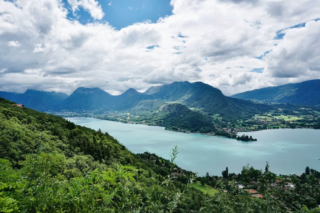
Talloires sits on the eastern shore of the lake, about 40 minutes from Annecy by bike, and it offers some of the most varied riding experiences in the region.
The easiest riding is at the Roc de Chère nature reserve, a protected headland that juts into the lake just north of the village. The trails here are short, well-marked, and accessible to most riders, with the added bonus of exceptional views over the water. It’s a good entry point for beginners or for warming up the legs before heading higher.
Above the village, the character of the riding changes considerably. The slopes climbing toward the Col de la Forclaz and the ridgeline above Montmin are steeper, more technical, and more demanding, with longer climbs rewarded by fast descents back toward the lake.
Trail Elevation
Roc de Chère peaks at just over 200m above the lake, and most of the trails in the park require less than 100m of climbing.
Most of the trails on the mountains above Talloires are within 600m of elevation above the town. However, there are a few trails that climb well over 1000m above the lake!
Trail Difficulty
Roc de Chère has some of the most accessible trails in the Annecy region. The park consists mainly of green and blue tracks, with a red track descending from the summit.
The trails above Tailloires have a much higher difficulty, both physically and technically. There are no green descents; most are red difficulty and very rocky and technical.
Riding Season
The trails in Talloires are generally rideable year-round. The flatter trails of Roc de Chère don’t dry as quickly, and can remain muddy for long stretches of the winter, however.
Most of the tracks above Talloires are southern-facing and dry quickly. However, the limestone rock that defines the region becomes extremely slippery when wet, making most trails unrideable after the rain.
Trail Map
Talloires Recommended Routes
Talloires Enduro
This challenging ride highlights the typical trails on this side of the lake: steep, rocky, and loose.
The route begins in Menthon-Saint-Bernard with a steep road and gravel climb above Bluffy. It then winds its way back down towards Talloires along singletrack.